Description
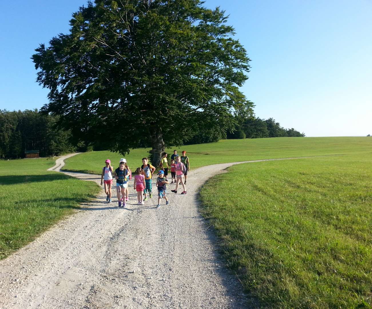
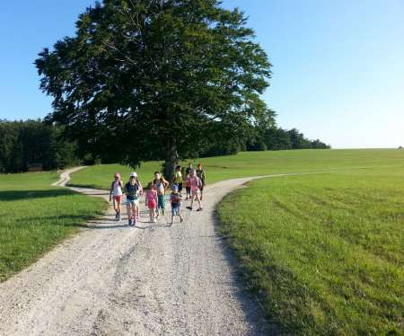
Bohor and Lisca are two of the most popular hiking spots in the Zasavsko-Posavsko hribovje. Both hills are well known and visited by hikers and are suitable for both recreational hikers and those who want more difficult challenges. Especially for the most persistent a hike that connects both hills – from Bohor to Lisca – is a great idea.
Distance: 18,3 km
Walking time: 6 hours
Difficulty: easy marked path
Route description:
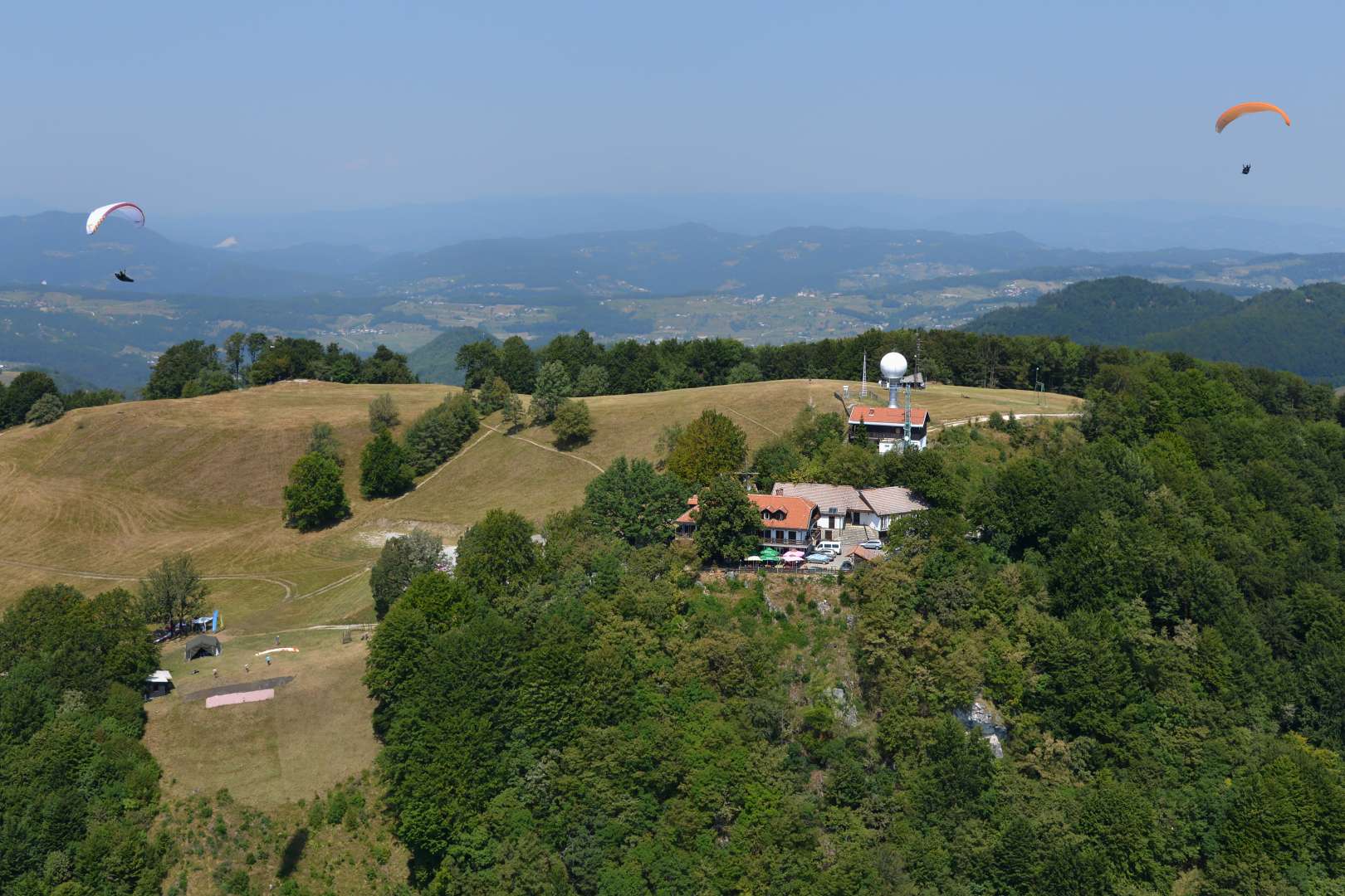
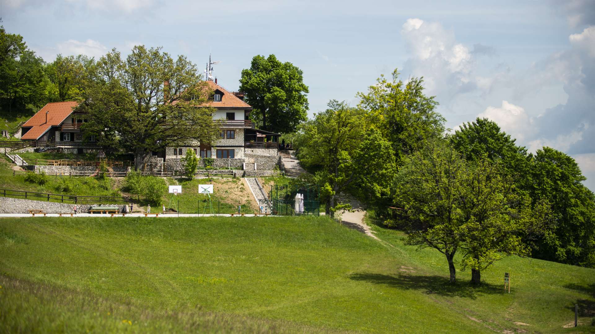
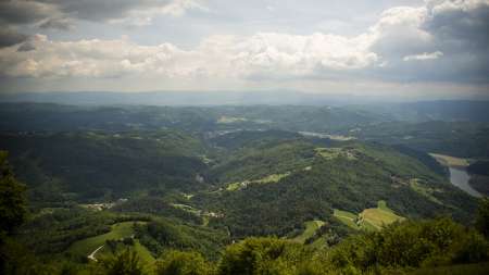
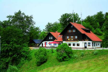
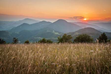
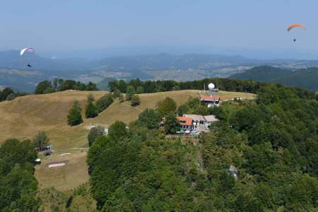
Most hikers start this hike either at Jablance (and first do the hike to the top of Bohor) or at Koča na Bohorju and then continue past Veliki Koprivnik to the highest peak of Bohor – Veliki Javornik (1023 m above sea level). The path then continues along a short steep path and we descend towards Mrzla Planina and Zabukovje near Sevnica. From the plateau path, it is possible to observe the Lisca mountain range, Brestanica and other nearby and distant surroundings. Above the village of Mrzla Planina, the path continues along the asphalt road, which descends all the way to Zabukovje above Sevnica. We continue along a steep forest path to the regional road Sevnica – Planina, and then at the Pipan bar we turn steeply into the hill, which is already part of the Lisca mountain range. We continue along the forest path to Podgorje, and then ascend along the transverse mountain path to Ješovec. The path to the top of the ridge is quite steep here. When we reach the top of Ješovec, we continue towards the top of Lisca, which is already visible in the distance with Tončkov dom at the top. The path to the top then runs mostly through the forest.
The whole trip will take around 6 hours. The trail is suitable for recreational and more demanding hikers who enjoy in beautiful nature and nice views along the way.