Description
Lisca is a hill, located north of town Sevnica. With its 948 metres hight above sea level it is ideal for daily trips for family with children, recreational hikers, or cyclists, or even for those, eager for an adrenaline rush or real mountain challenge. Lisca is very easy to access and offers various routes – so everyone can reach the top of the hill at his or her own pace. All this makes Lisca for one of the best peaks of »Zasavsko – Posavsko hribovje«.
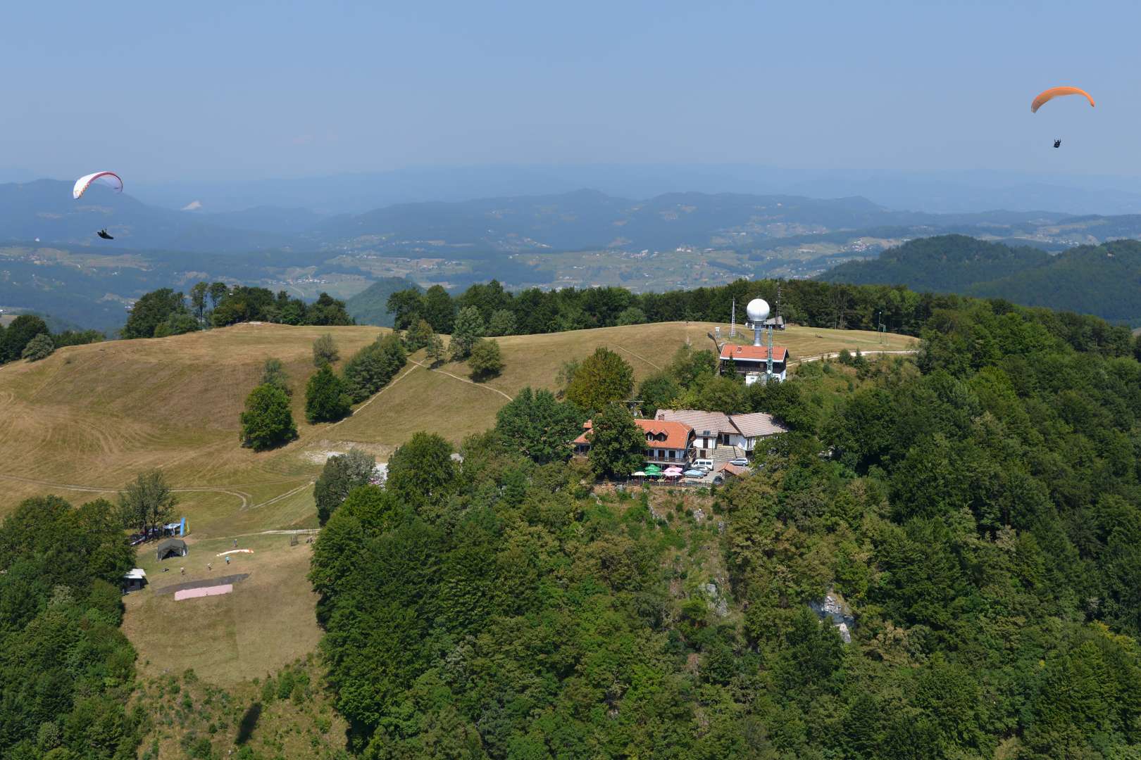
At the top you will find untouched nature, peace and Tončkov dom – mountain lodge, where it is possible to have a drink or treat yourself with delicious meal. Lodge is surrounded with recreational and picknic areas, there is also beautifully landscaped playground for children, so it is no surprise Lisca is very popular with families with children. On the hilltop you can also encounter brave paragliders, as the top is also excellent starting point for skydiving.
Lisca by bike
An asphalt road leads to the scenic peak of Lisca. Many cyclist lovers want to conquer the summit on a bike. Most of them choose town of Radeče (194 m above sea level) as their starting point.
Starting point: Radeče
Length: 18 km
Height difference: 754 m
Difficulty: medium demanding cycling route
Suitable for: mountain and trekking bikes
Route description
If we star in Radeče, we first drive to village Breg (approx. 6 km) along the local road, which leads by the railway, along the left bank of river Sava. On this road we drive through some smaller, beautifully landscaped villages. This section of the road is mostly flat. The turnoff for Lisco and Jurklošter is well marked in the settlement of Breg. From the village Breg we continue the first 2 km slightly uphill. We continue up and down for the next 10 km. The markings for Lisca are always clearly visible. In the second part of the ascent, the slope is 24%. The road to the top is shady and winding.
If you are coming to conquer Lisca from some more distant city or town, then we recommend a slightly longer cycling trip, which you can start in Hrastnik – you can leave your car at Steklarna in the industrial zone Podkraj, where there is a large parking lot. The path from there leads you along a narrow road, which is not busy, along right bank of river Sava to Radeče (approx. 12 km).
Going down from Lisca, we recommend that you turn towards Razborje in village Lisce and go past Okroglice. This road is much more scenic, sunny, and less busy. This path joins the path you took uphill just before you reach village Breg.
In addition to recreational cycling, Lisca is also extremely popular among down-hill riders and fans of adrenaline-fueled cycling routes.
Lisca on foot
Lisca is also very popular among hikers and climbers. There are several different routes to the top, including a route suitable for the youngest and a ferrata, for those who like to try climbing in addition to hiking. When the weather is nice, the conquered peak rewards us with beautiful views of the Julian Alps, the Kamnik-Savinja Alps, parts of the Karavanke,…
Route description
Several different hiking trails lead you to Lisca. The most popular and visited is certainly the trail, which has a starting point in the village of Breg, lasts 2 hours and is one of the most easy and well-marked trails. We start hiking in the village of Breg, where the sign for Lisca is clearly visible. From here, only 500 m onwards, there is possible to park, if you come by car. We continue along the footpath that climbs parallel to the road. We continue the road through the forest, along the grassy slopes, part of the road also runs along the asphalt road. There are some steep climbs along the way, but mostly the trail runs along shady and well-marked path. In this hike we make 728-meter height difference.
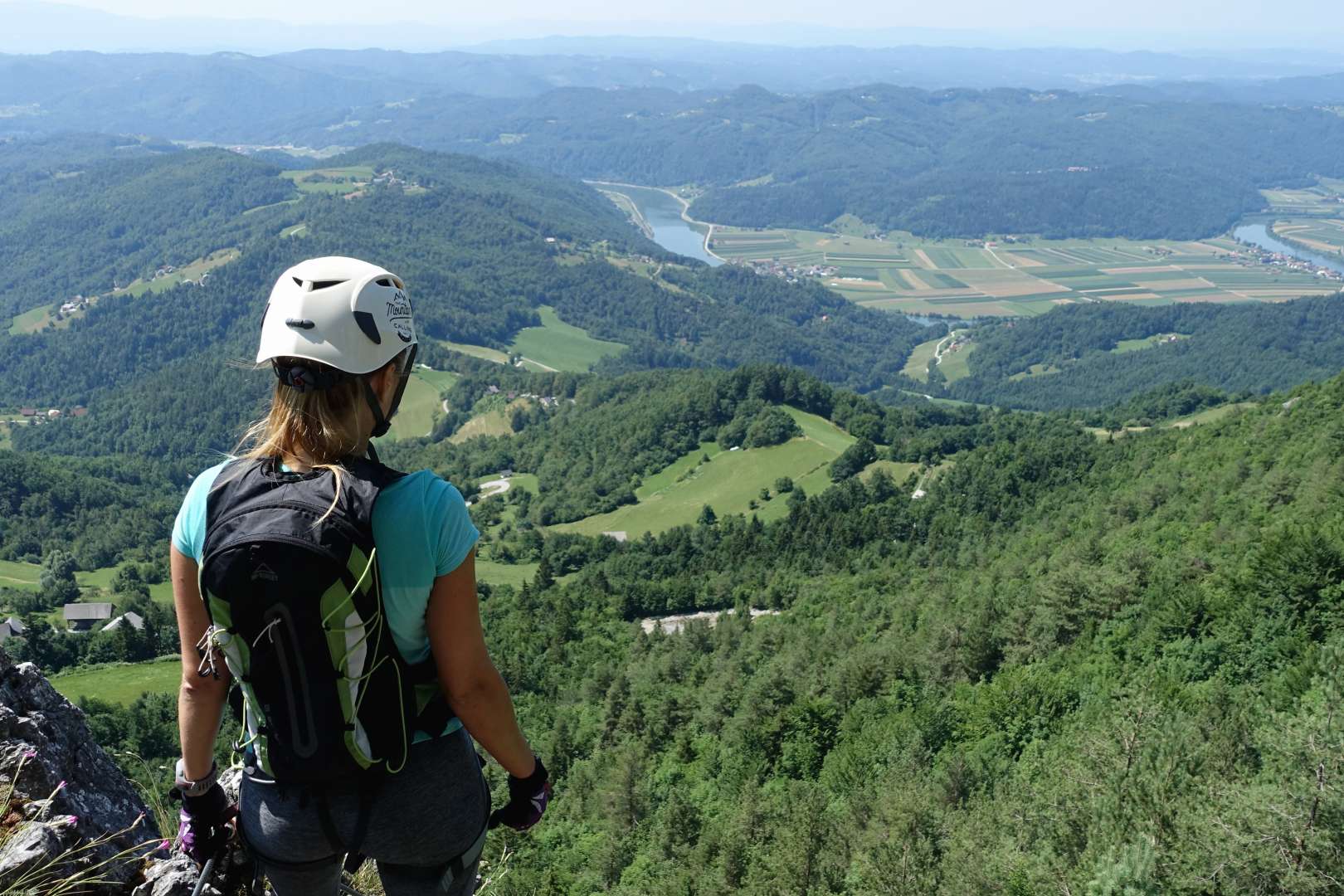
In addition to this route, a ferrata leads to Lisca, with its starting point in Cerje. This trail takes approx. 45 minutes and is very demandind marked route. The recommended equipment is a self-protection kit and a helmet.
One of the paths to the top starts at the Mastnak wine cellar (Krakow) – it is an easily marked path that lasts 1 hour and 20 minutes and is also suitable for hiking with children.
Photo: Marko Žunec


